May 7th, 2014: Learning Along the River, Week 6

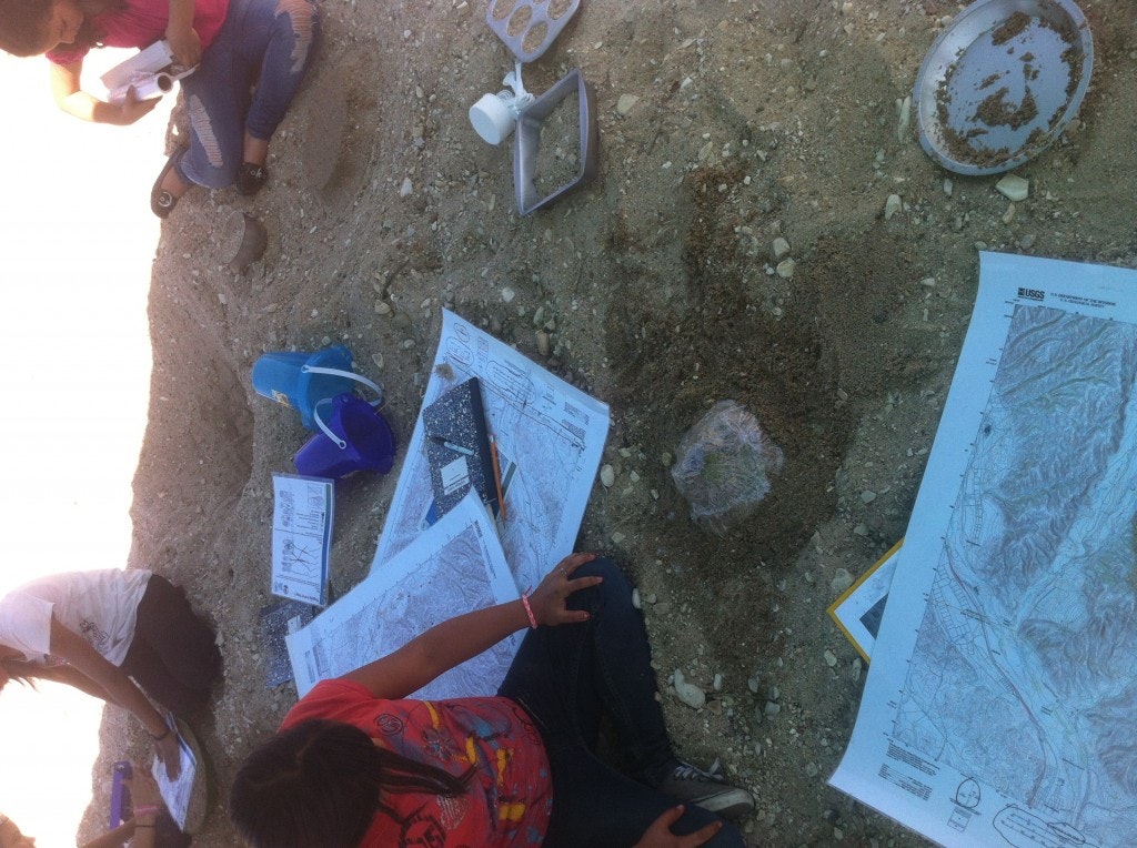
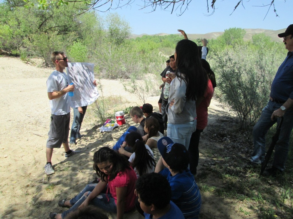
After two weeks of Spring Break, we were back in action in our outdoor classroom last Wednesday. Our lesson this week was all about topographic mapping. Working together, students completed a mapping activity where they matched profiles and written descriptions of structures to the correct contour diagram. Groups were given USGS maps of San Miguel and a list of features to find and circle such as the map name, scale, date, latitude, longitude, etc. Kids got creative as they built their own three dimensional topographic map out of sand! Once completed, they sketched a topographical version of their sand map and discussed where water might flow. Each mound was then covered in plastic wrap and with a spray bottle simulating rain they were able to see where water flows and if their hypothesis was correct.This week we also had a very special guest from the Community Foundation San Luis Obispo County.
Here is what Janice had to say about her visit to our outdoor classroom:
“On April 30, I had the pleasure of conducting a site visit with the Learning Along the River program which The Community Foundation SLO County had recently funded. As the 15 students from Lillian Larson Elementary gathered, the excitement grew. We walked down into the Salinas riverbed and everyone was full of energy and ready to explore their environment.Kudos go to educators Nick and Amy who had put together an engaging and interactive lesson for the day. Learning how to interpret topographic maps and the relationship to the watershed is no easy task. The exercises made each team think, interpret and communicate with each other in a way that made it stick! Thanks to all for letting me join in on the fun. The Community Foundation is proud to have supported this new environmental education program for youth.”

Thank you Janice! We couldn’t do this awesome work without the support of the The Community Foundation!
